
Pulpit Rock above the Lysefjord
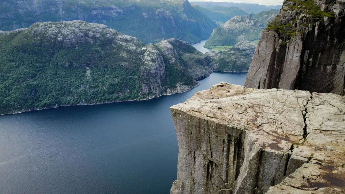
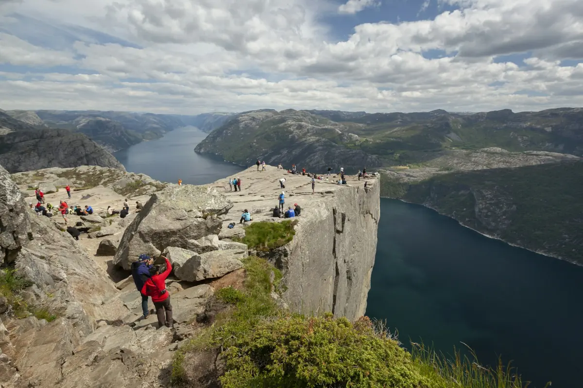
Pulpit Rock, known locally as Preikestolen, is a rock plateau in Ryfylke, Rogaland, rising 604 m above the Lysefjord. The view from the plateau and the view of its sheer wall from the water are different experiences. Walking reaches the top; a sightseeing cruise shows the cliff from below, without a landing on the plateau.
The standard walk is a mountain outing rather than a stop beside the road. Allow room in your itinerary for getting to the trailhead, walking, resting and returning. A guide can organise transport and lead the ascent, while a boat trip suits visitors whose priority is the fjord landscape rather than the climb.
Ways to experience Pulpit Rock
Choose a guided ascent for a walking day or a fjord cruise for a view from the water. The RIB combination includes both, while the digital map supports independent planning.
Hand-picked tours, booked through GetYourGuide and Viator. Prices are indicative starting prices in euros (as of November 2026). Tap a tour for live availability and the current price in your currency.
Fjord RIB trip and guided Pulpit Rock hike
- Flotation suit and life vest
- Minibus return to Stavanger
- Norwegian hiking snack
A high-speed fjord trip is followed by a guided hike to the summit, with a minibus transfer to the trailhead.
Check availability →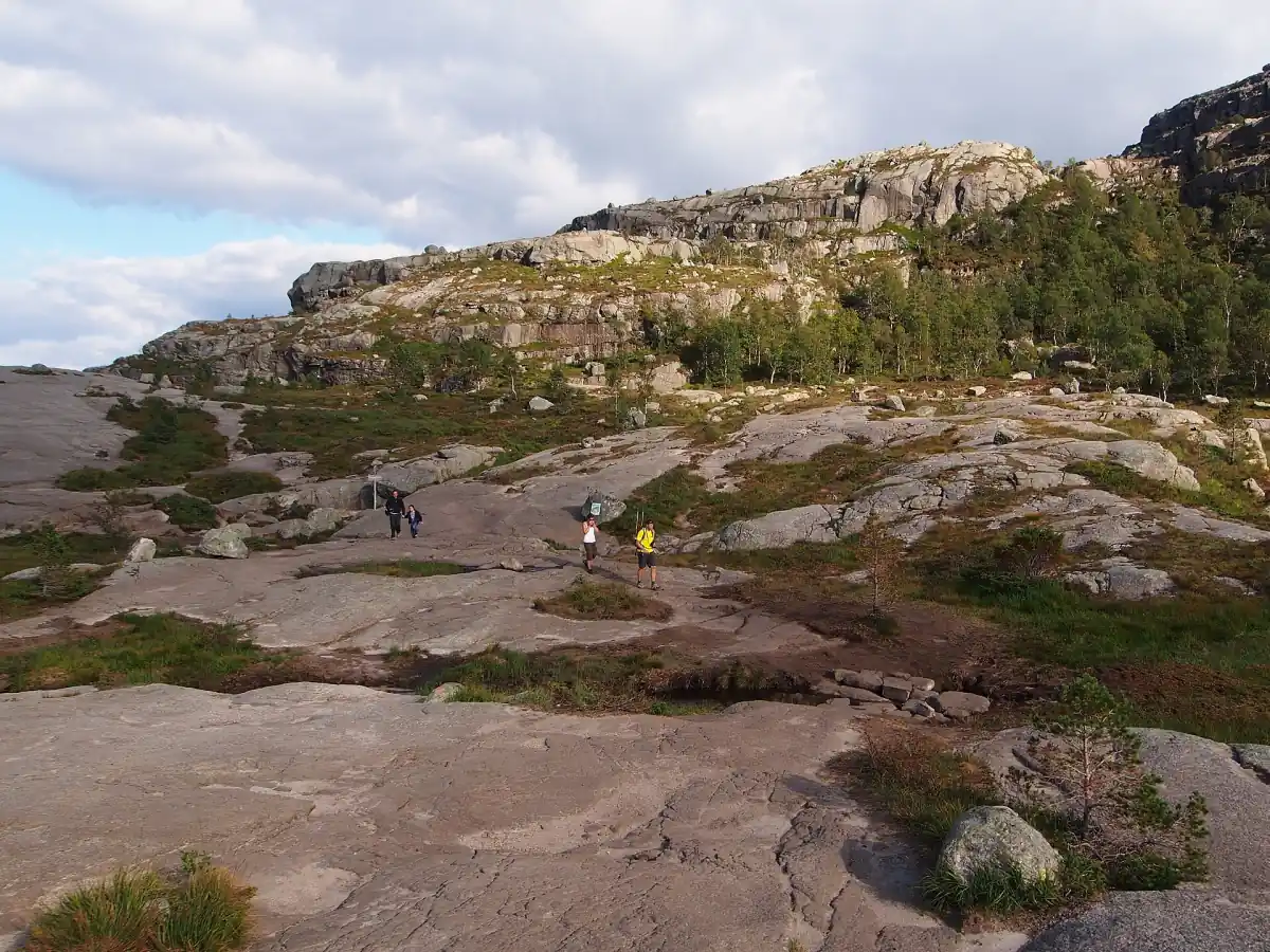
Guided hike with address pickup
- Road tolls and parking
- Hiking poles if needed
- Warm tea after the hike
Pickup and drop-off are included, with a guide for the entire trip. Tea and a snack are served at the parking area after the hike.
Check availability →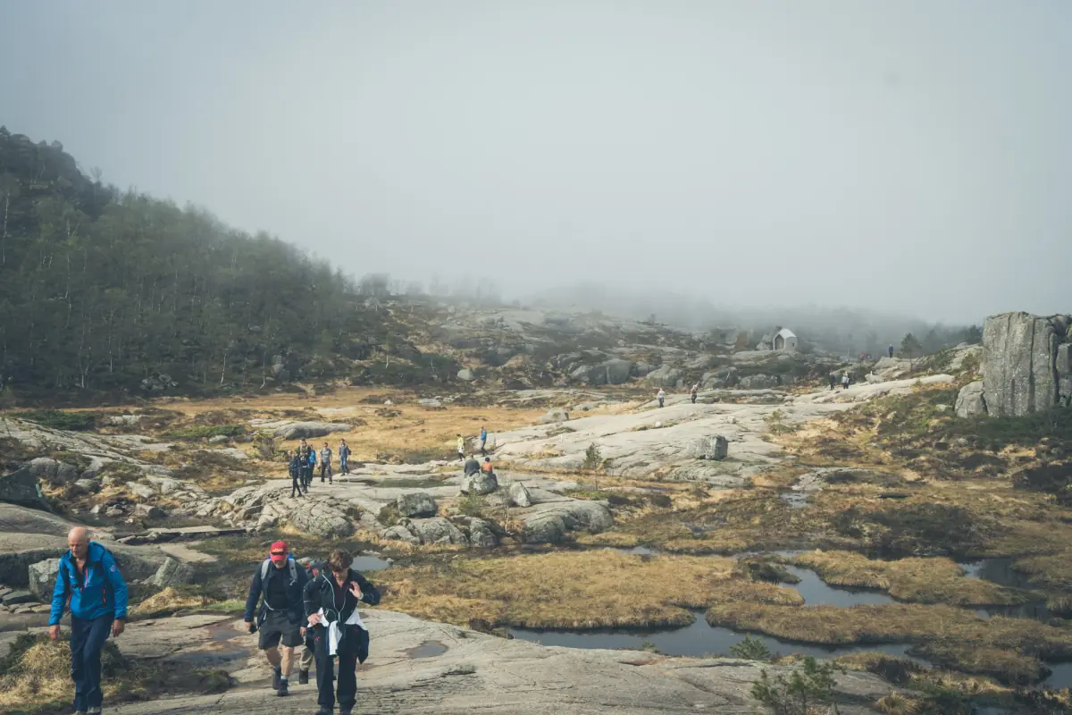
Pulpit Rock hike from the cruise terminal
- Bus transportation
- Local guides
- Snack
Meet at the cruise terminal for a guided hiking day. The six hours cover the whole outing.
Check availability →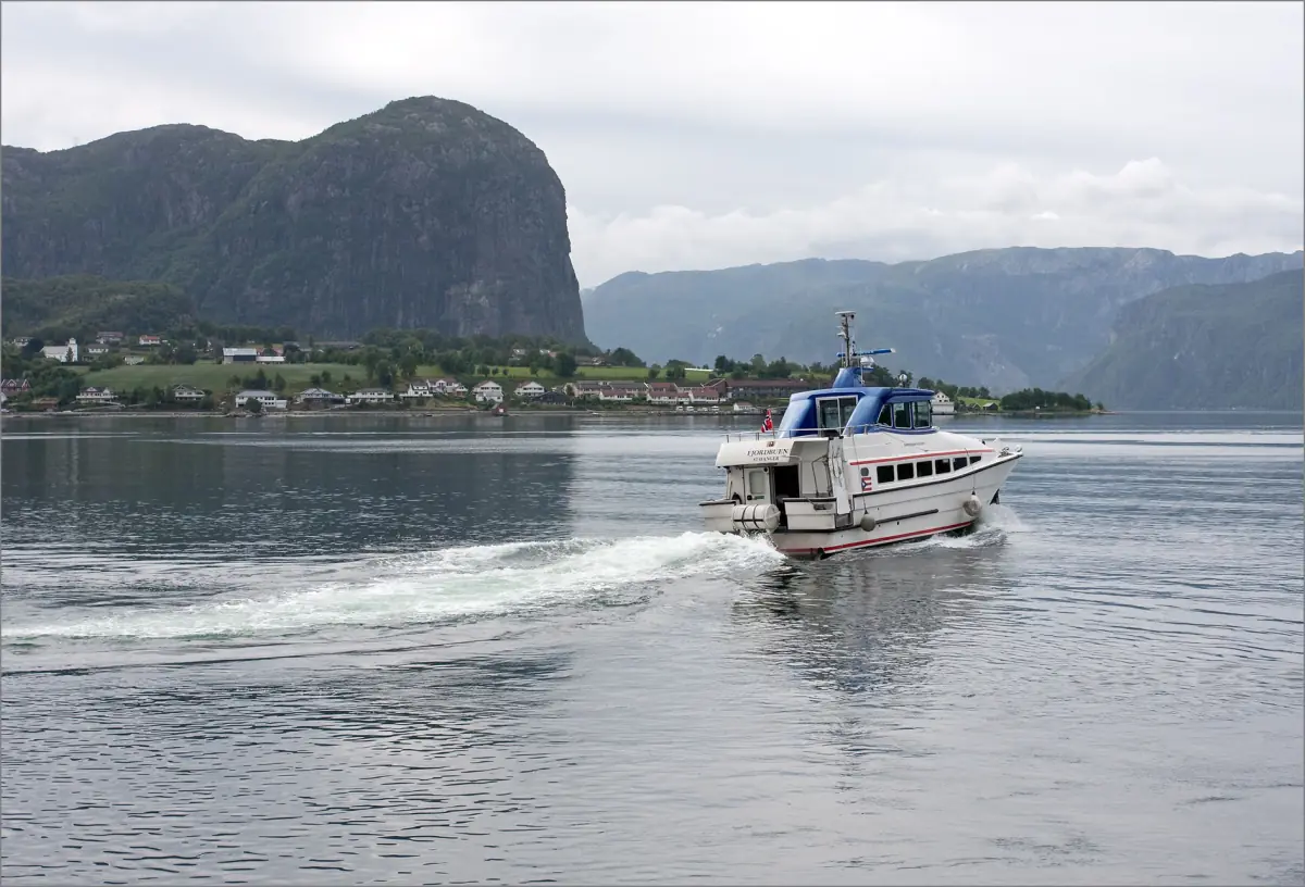
Electric catamaran cruise below Pulpit Rock
- Panoramic windows
- Sun deck access
- Audio guide
See the cliff from the fjord on a round-trip cruise by electric catamaran.
Check availability →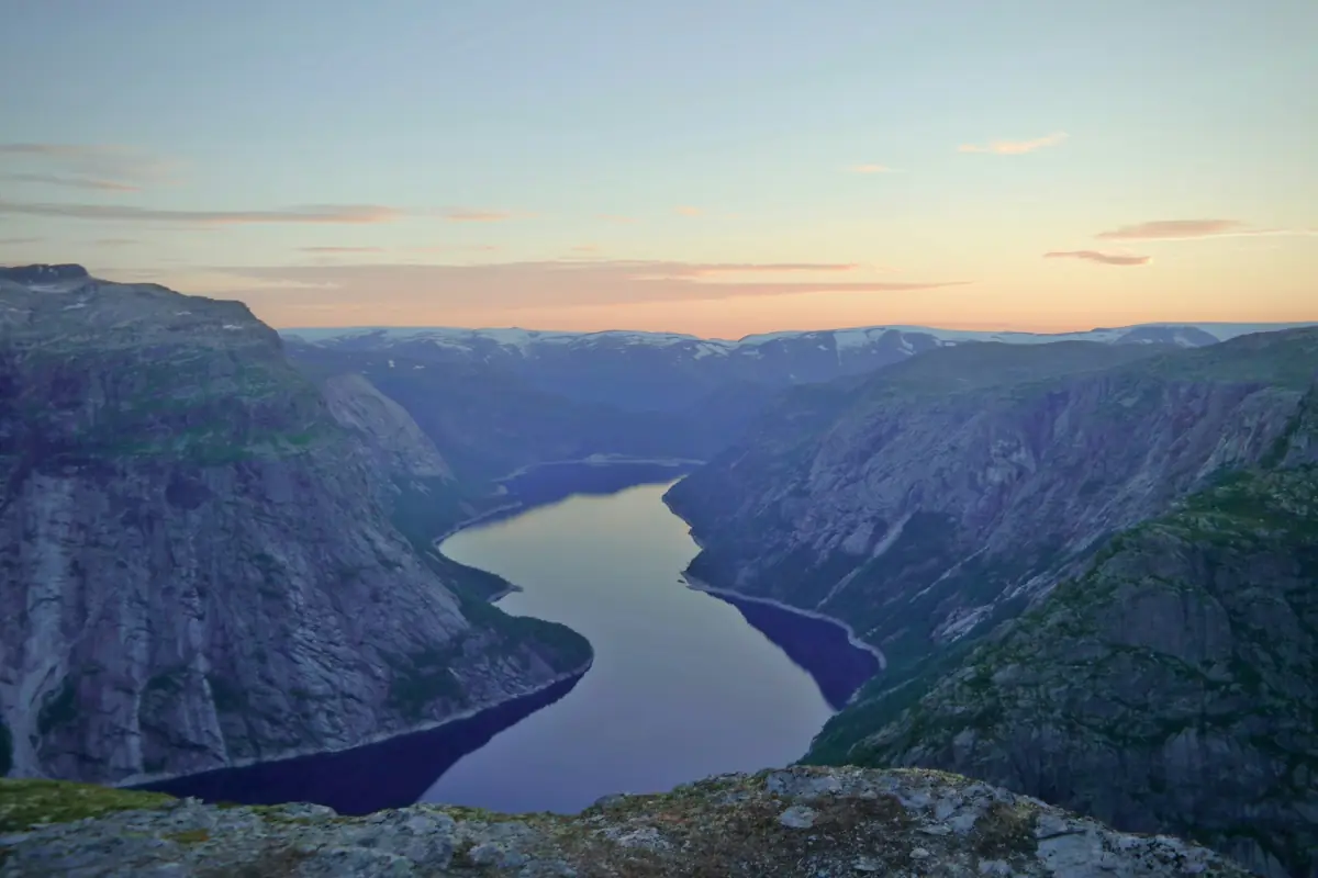
Lysefjord cruise past Pulpit Rock
- Close-up view of Preikestolen
- Views of Whiskey Waterfall
This 2.5-hour cruise shows the rock from the water and passes Ådnøy and Fantahålå.
Check availability →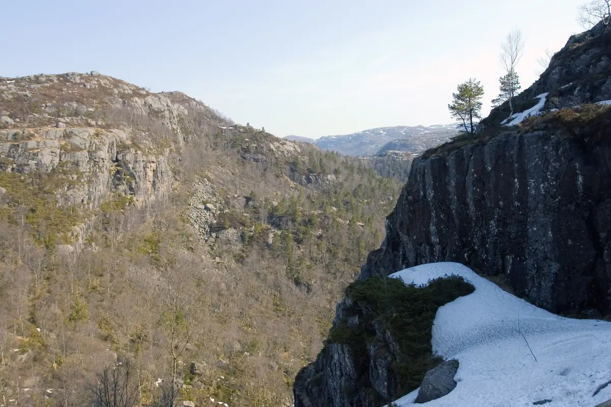
Self-guided Stavanger and Preikestolen map
- Digital route map
- Delivered by email
A map link for independent planning; no guide meets you in person. It does not guarantee that routes are open or safe.
Check availability →Ways to experience the cliff and fjord
Choose a guided ascent, a catamaran view from the water or the RIB and guided hike combination. The digital map is a separate self-guided planning product.
Plan a Pulpit Rock visit
Pulpit Rock planning starts with the experience you want, then the transport, season and overnight base that support it.
Guided hikes compared
Choose between a terminal meeting point and address pickup.
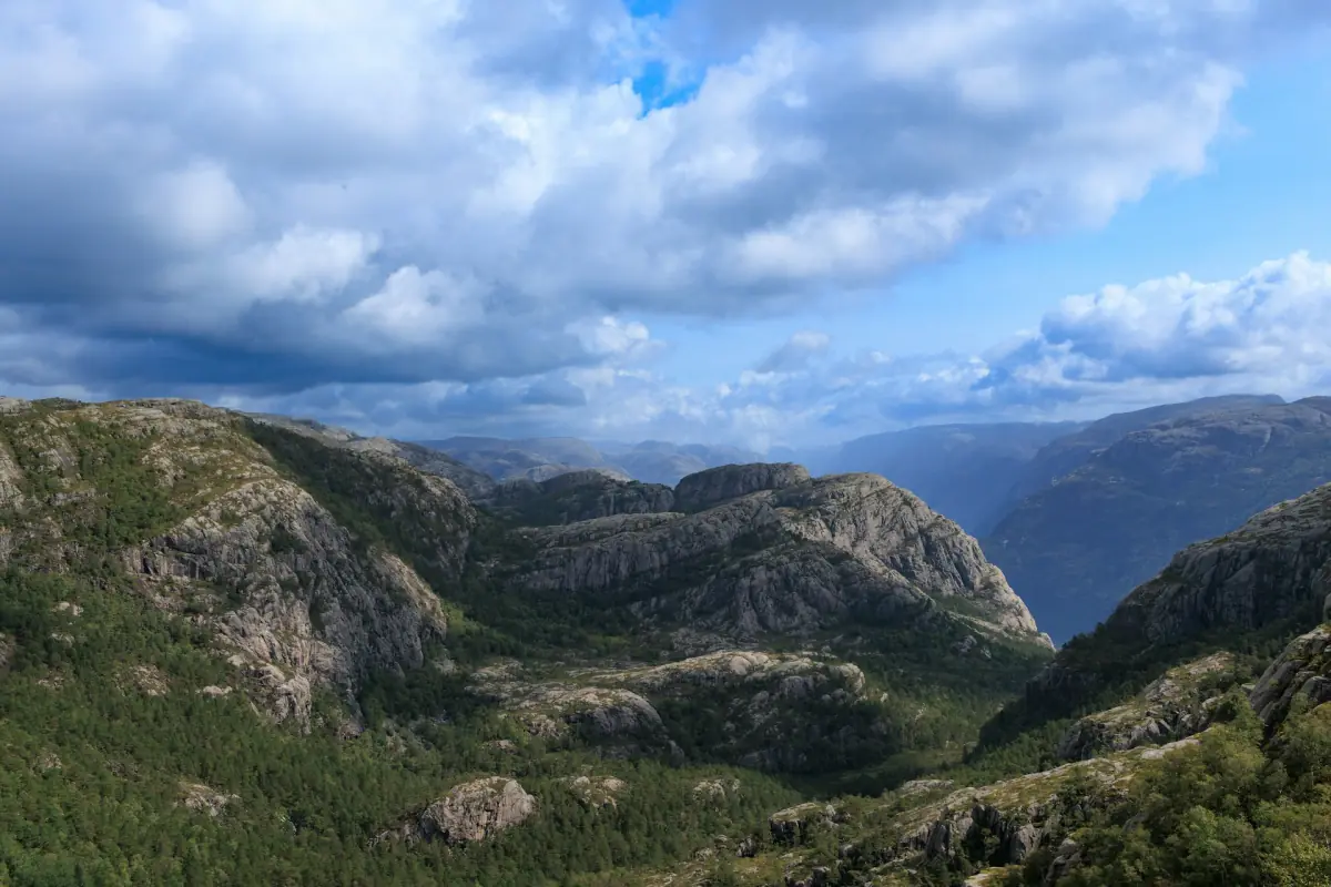
The standard hike
Plan the terrain, walking time and return.
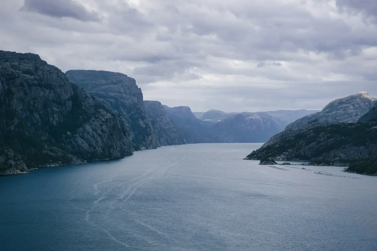
Lysefjord cruises
See the cliff from the fjord without climbing.
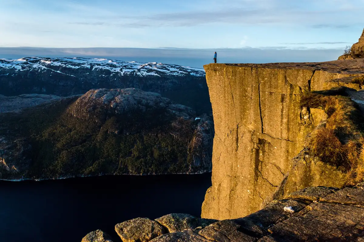
Guided winter hikes
Understand winter equipment and changing conditions.
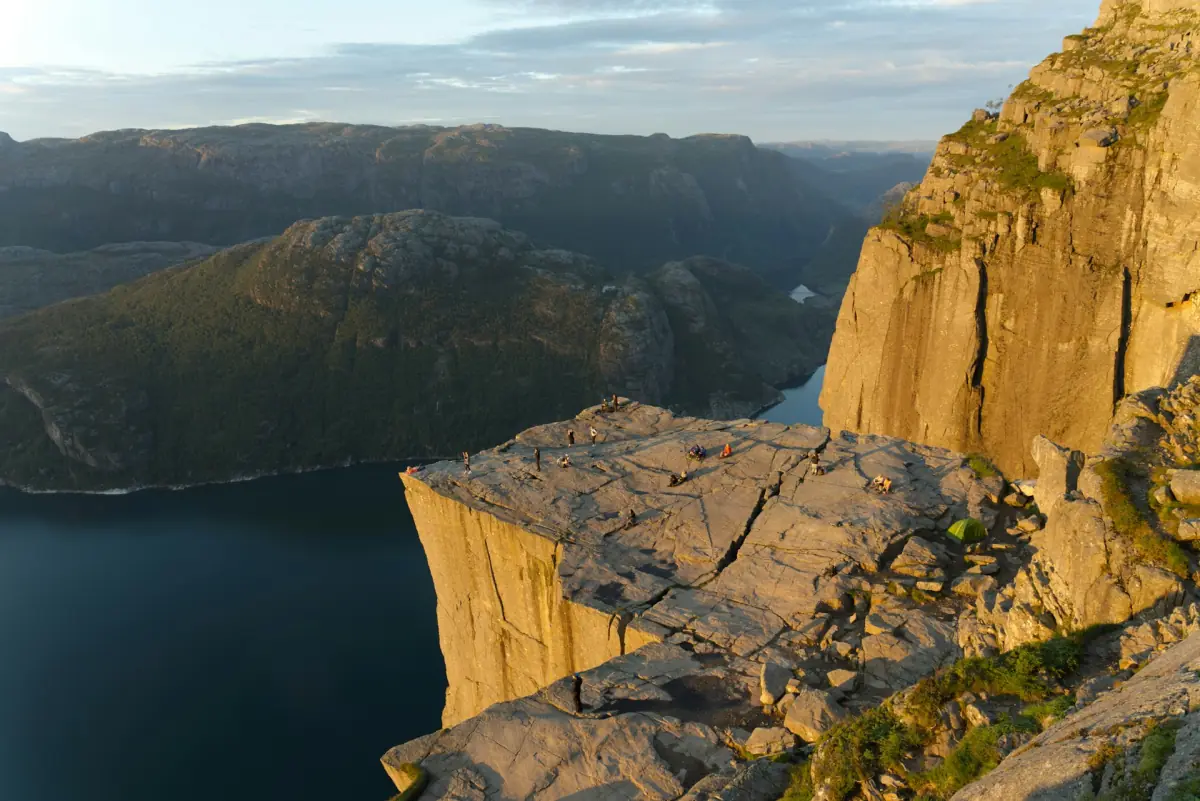
Sunrise hikes
Arrange a dark ascent with transport and lighting.
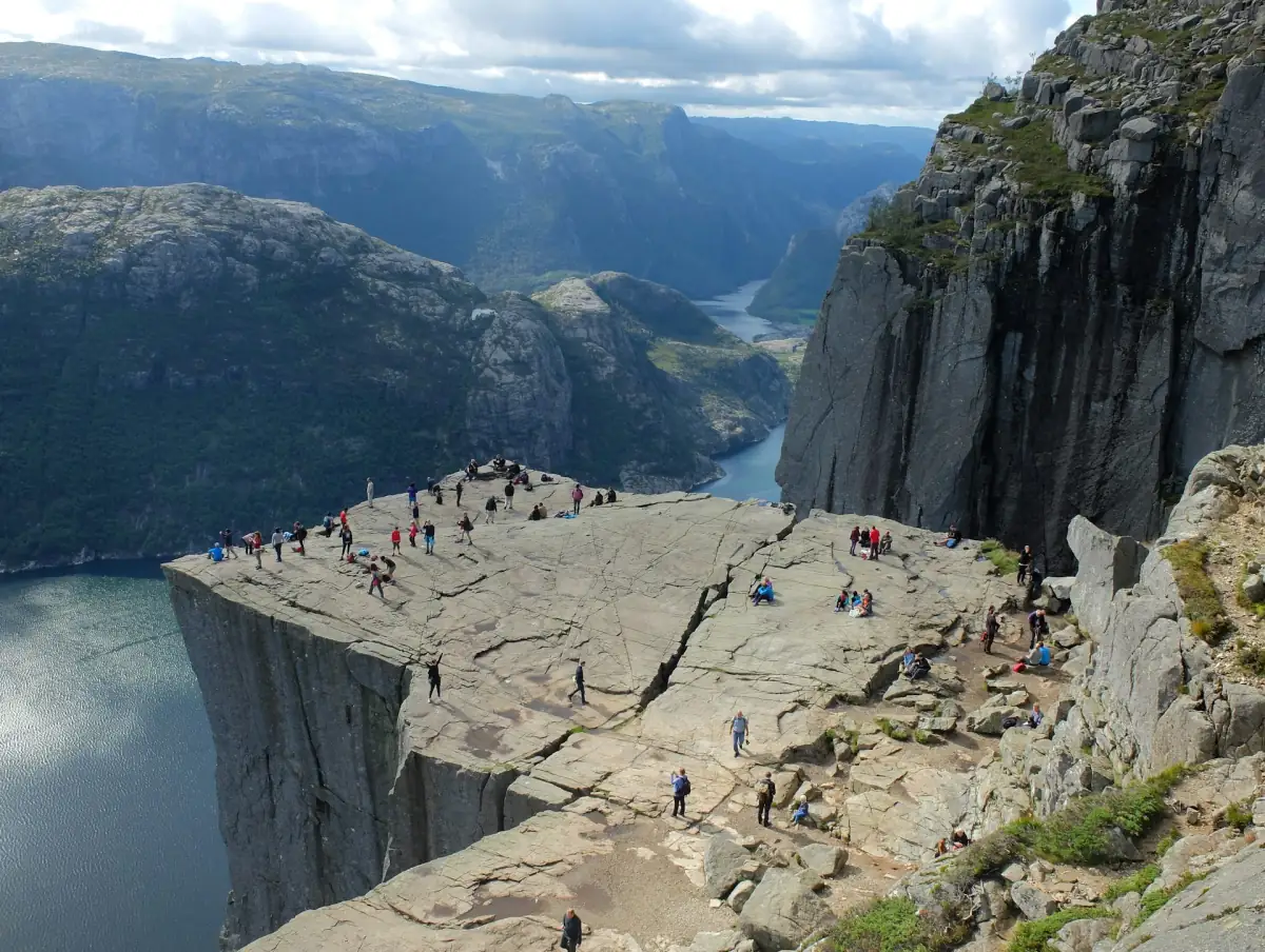
Private guided hikes
Compare pickup areas and specific inclusions.
Shore excursions
Fit meeting points and return buffers around your ship.

Getting to the trailhead
Separate road travel, seasonal buses and parking.
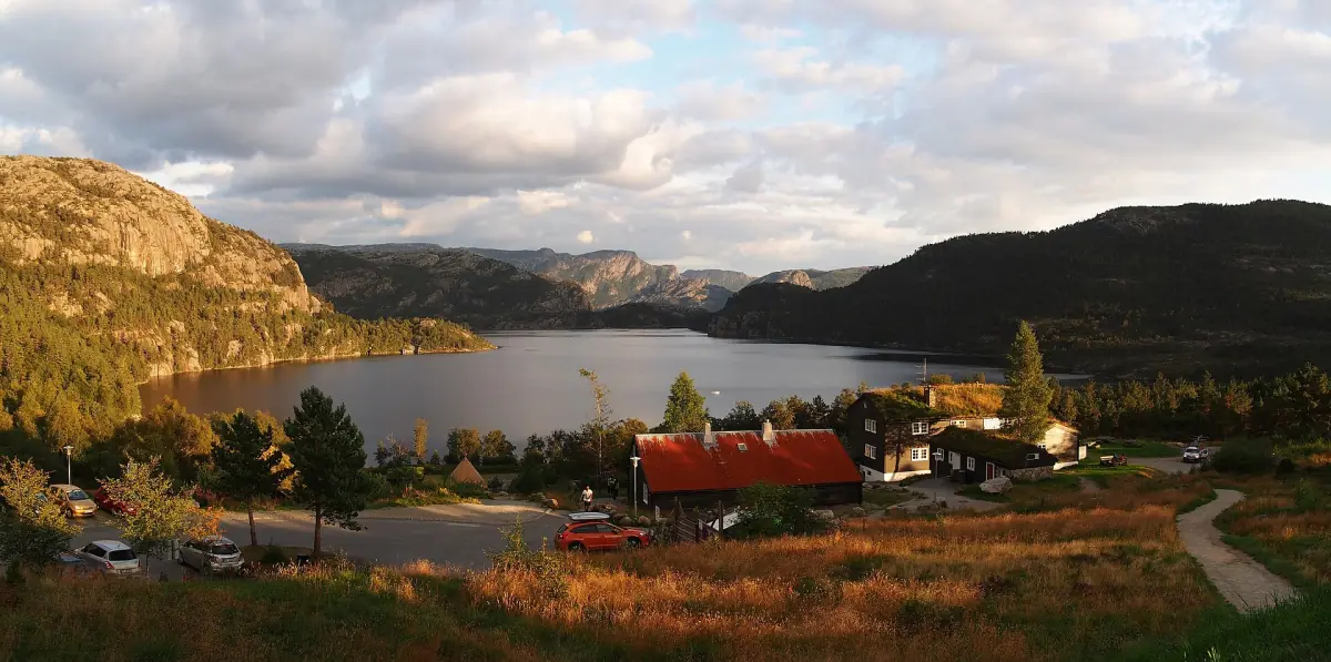
Where to stay
Compare a city base with the trailhead and nearby areas.
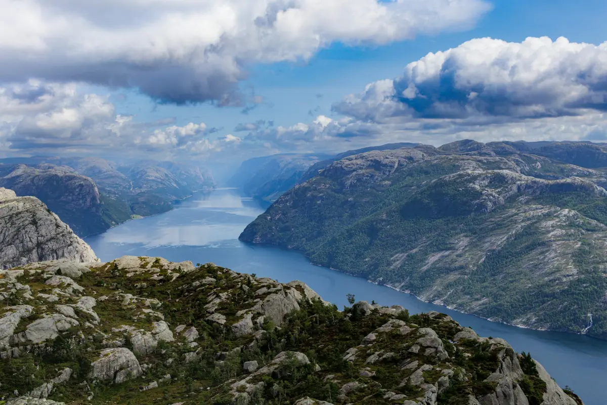
When to visit
Balance daylight, seasonal transport and weather.
Guided ascent, boat view or both
The six-hour guided hike from Stavanger cruise terminal includes bus transport, local guides and a snack; bring water and lunch yourself. The seven-hour hike with pickup from an address in Stavanger or Sandnes includes transport, tolls, parking and a guide, with poles and spikes available if needed and tea and a snack after walking.
The electric catamaran excursion lasts 3.5 hours and includes panoramic-window seating, sun deck access and an audio guide; food and drinks cost extra. Another catamaran outing lasts 2.5 hours and departs from Strandkaien 36, without hotel pickup. The seven-hour RIB combination starts at Stavanger harbour by the maritime museum, includes protective clothing for the boat, a minibus to the trailhead, a guided ascent, a snack and the minibus return to Stavanger. Hiking clothing and harbour parking are extra.
History and formation of Pulpit Rock
Pulpit Rock probably took shape through frost shattering around 10,000 years ago as the ice retreated, according to the regional tourism account from Fjord Norway. This explanation helps place the dramatic wall in its landscape; it should not be read as a present-day assessment of the cliff’s stability.
Lysefjorden Utvikling dates a milestone in tourism development to 1896, when Randulff saw the cliff during a steamship journey. The rock was already known locally. The story concerns its emergence as a visitor destination rather than the first human discovery of the plateau.
Visit costs and what you are buying
Pulpit Rock visit costs depend on transport, parking and the experience selected. A guided walk pays for its stated guiding and travel services; a cruise pays for a boat outing. Treat a vehicle parking charge as parking, rather than as an admission ticket for each walker. The transport guide explains the dated parking and bus tariffs.
The digital Stavanger and Preikestolen map arrives by email as a link. It is a navigation file for independent use, without a personal guide, transport, admission or a safety service. Compare that product with a guided walk by what it provides, rather than expecting a lower-priced map to deliver the same assistance.
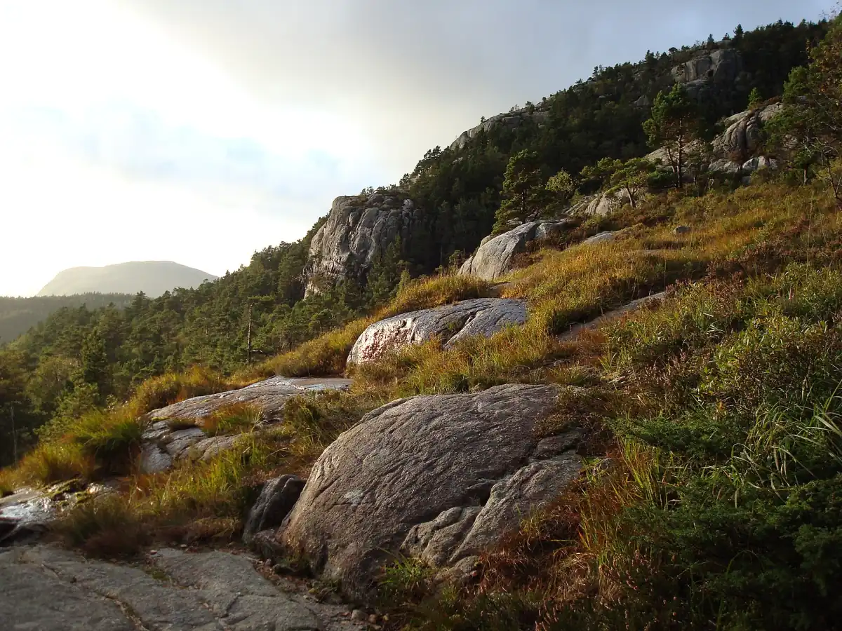
Safety at the unguarded plateau
Pulpit Rock has an unguarded edge without a railing or barrier. Keep back, supervise children directly and avoid risky photographs. A marked trail and stone steps still require attention to footing and conditions. Weather and avalanche warnings matter, and turning around is the right decision when the conditions or your own capacity call for it.
Use the hiking guide to prepare for the route and the season guide to plan timing. We recommend guided options for winter. In a medical emergency in Norway, call 113. A scheduled excursion is a plan for the day, not an assurance of safe conditions or clear views.
Other Norwegian fjord destinations
Pulpit Rock is one specific cliff and walking destination within a wider fjord landscape. For other Norwegian fjords, continue with regional planning once you have set aside enough time for the ascent or the water view here.
Questions about visiting Pulpit Rock
How high is Pulpit Rock?
604 m above the Lysefjord is the height of Pulpit Rock’s plateau. That figure describes its position over the water, rather than the amount you climb on the standard trail. Decide whether you want to reach the plateau on foot or look up at the rock during a fjord cruise.
Does a fjord cruise reach the plateau?
No, a Pulpit Rock sightseeing cruise shows the cliff from the water without a plateau landing. The RIB and hike combination separately includes a transfer to the trailhead and a guided ascent. Select that combined outing when you want both perspectives and have enough time for the walking component.
Is this the official Pulpit Rock website?
No, this Pulpit Rock website is an independent travel guide, separate from the foundation, municipality and tour operators. Use it to compare experiences and organise your visit. Follow current local safety information for the day itself, and use the booking information for your chosen product’s meeting point and departure arrangements.