
The Pulpit Rock hike in practical terms
The Pulpit Rock hike is approximately 8 km out and back from the trailhead, with about 500 m of cumulative ascent. The trail operator gives four hours as a walking guideline, with breaks and time on the plateau additional. Return along the same route, so your day needs enough energy and daylight for the descent as well as the climb.
Pulpit Rock stands 604 m above the Lysefjord; that height is different from the ascent you walk. This page explains the standard route for independent planning in suitable conditions. Compare guided Pulpit Rock hikes if you prefer a guide and arranged transport, and use the travel and parking guide to reach the actual trailhead.
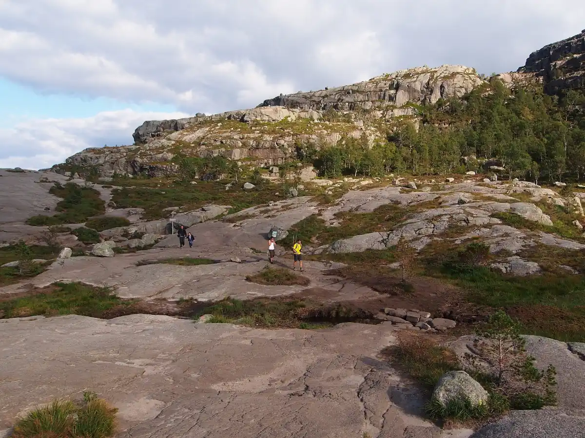
Stone steps and mountain terrain
The Pulpit Rock trail combines gravel, woodland paths, exposed rock and stone steps. Bridges cross wet sections, while signs and red T markings help with orientation. The first 500 m already climb more than 80 m, so the effort begins early rather than being confined to a final push near the viewpoint.
Pulpit Rock remains a mountain walk despite the constructed steps. Place your feet carefully on uneven surfaces and choose footwear for rock and changing conditions. A maintained path does not remove the need to judge weather or your own ability. Toilets are at the parking area, rather than along the hiking route, which makes preparation at the start useful.
A map for independent planning
The digital map link is sent by email for your independent route planning.
Hand-picked tours, booked through Viator. Prices are indicative starting prices in euros (as of November 2026). Tap a tour for live availability and the current price in your currency.
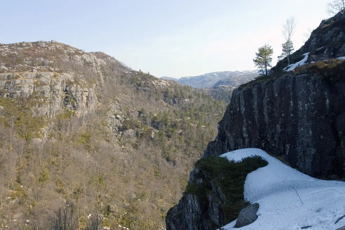
Navigation for an independent Pulpit Rock walk
The digital map is delivered by email for route planning. Choose a guided hike on the tours page if you want someone to accompany you.
Why difficulty descriptions differ
The Pulpit Rock route is described as moderate by the trail operator and challenging, with a red grading, in the regional trail information. Treat those descriptions as a reason to assess the actual terrain instead of relying on a single label. Uneven footing, repeated climbs and the return descent matter more to your decision than a reassuring adjective.
Pulpit Rock walking time varies with fitness, weather, trail conditions and crowds. Four hours is a reference, not an appointment for reaching your transport. Give yourself room to stop without rushing on the descent. The season and weather guide explains why a calendar month alone does not establish suitable walking conditions.
Children and preparation
Pulpit Rock requires close supervision of children, particularly on the unguarded plateau. Plan the day around the least confident walker, bring suitable layers and decide whether everyone can manage the return journey. Warm clothing and mountain footwear matter when conditions change; a light is also relevant if darkness could affect your walk.
The Pulpit Rock digital navigation product provides a map link by email. It includes no personal guide, transport or admission and is not a safety service. The decision to continue rests with your group and the conditions on the mountain. For snow and ice, this guide recommends the guided winter options; the trail operator advises against winter hikes with children under five.
Turning back and weather warnings
Pulpit Rock has no railings or barriers along the plateau edge. Keep back, supervise children directly and avoid risky photographs. The viewpoint is not a reason to push past a personal limit, and neither red markings nor stone steps make the exposed terrain safe in unsuitable conditions.
Pulpit Rock plans should respond to weather and avalanche warnings, including information from Yr and Varsom. Turn back when the conditions or your own performance call for it, even if that means missing the plateau. A booking or an open parking barrier is not a trail clearance. The Norwegian medical emergency number is 113.
Kjeragbolten is a separate mountain day
Kjeragbolten requires its own demanding hike and separate journey to Øygardstøl on the southern side of the Lysefjord. The Kjerag route is approximately 11 km with 750 m of ascent and a five to six hour guideline. It is not a short extension of the Pulpit Rock walk, and Lysebotn needs an onward road connection to the starting point.
Pulpit Rock and Kjerag are better treated as distinct walking plans, with their own transport and conditions. Keep the wider geography separate from the decision to attempt either mountain. For the surrounding region, continue with planning a trip around the Lysefjord.
Questions about the Pulpit Rock hike
How long is the Pulpit Rock hike?
8 km is the approximate return distance of the Pulpit Rock hike from the trailhead. Allow about four hours of walking as the trail operator’s guideline, then add breaks and time on the plateau. Fitness, crowds, weather and the state of the path can all change your actual duration.
Does a digital map include a guide?
No, the Pulpit Rock digital map is a navigation link sent by email, without an in-person guide. Transport and admission are also outside the product. Use it for planning an independent walk, while keeping weather decisions, route judgement and your group’s ability separate from the purchase.
Can children visit Pulpit Rock?
Yes, children can be considered for the Pulpit Rock walk according to their ability and the conditions. The rocky return route needs realistic preparation, and children require immediate supervision at the unguarded plateau. The trail operator advises against winter hikes with children under five; choose guided winter planning rather than treating summer experience as sufficient.